بِسْمِ اللَّهِ الرَّحْمَنِ الرَّحِيم
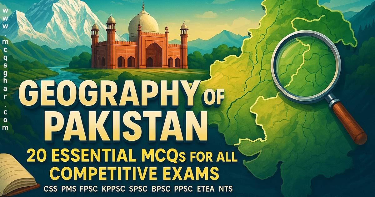
Geography of Pakistan: 20 Essential MCQs for All Competitive Exams
-
 KUMAIL BANGASH
- 3 Min To Read
- 24 Jun, 2025
Knowing the map of Pakistan is just as important as knowing its history. The geography of Pakistan is a favorite topic for examiners in NTS, CSS, PMS, KPPSC, PPSC, ETEA, SPSC, BPSC, FPSC and other competitive tests. Questions about rivers, mountains, deserts, and borders are very common.
How well do you know the physical features of Pakistan? Let's find out! Here are 20 MCQs on the geography of Pakistan that you absolutely must know.
1. What is the total area of Pakistan in square kilometers?
- 796,095 sq km
- 881,913 sq km
- 698,090 sq km
- 945,210 sq km
Answer: 881,913 sq km (This figure includes AJK and Gilgit-Baltistan).
2. Which mountain range is located in the north of Pakistan?
- The Himalayas
- The Karakoram
- The Hindu Kush
- All of the above
Answer: All of the above
3. K2, the second-highest mountain in the world, is located in which range?
- The Himalayas
- The Karakoram
- The Hindu Kush
- The Sulaiman Range
Answer: The Karakoram
4. The "Thar Desert" is located in which province of Pakistan?
- Balochistan
- Khyber Pakhtunkhwa
- Punjab
- Sindh
Answer: Sindh
5. Which river is the longest in Pakistan?
- Ravi
- Jhelum
- Chenab
- Indus
Answer: Indus
6. The famous "Khyber Pass" connects Pakistan with which country?
- China
- Afghanistan
- Iran
- India
Answer: Afghanistan
7. Which city is known as the "City of Gardens"?
- Islamabad
- Karachi
- Lahore
- Peshawar
Answer: Lahore
8. The "Gwadar Port" is located in which province?
- Sindh
- Punjab
- Balochistan
- Khyber Pakhtunkhwa
Answer: Balochistan
9. Which of these is the largest desert in Pakistan?
- Thal
- Cholistan
- Thar
- Kharan
Answer: Thar (The part in Pakistan is a continuation of the larger Thar desert).
10. "Lake Saif-ul-Malook" is a famous tourist spot located in:
- Swat Valley
- Kaghan Valley
- Hunza Valley
- Kalash Valley
Answer: Kaghan Valley
11. The boundary line between Pakistan and Afghanistan is called:
- The Radcliffe Line
- The Durand Line
- The Line of Control
- The 24th Parallel
Answer: The Durand Line
12. Which pass connects Chitral with Gilgit?
- Lowari Pass
- Shandur Pass
- Babusar Pass
- Khunjerab Pass
Answer: Shandur Pass
13. "Tarbela Dam" is built on which river?
- Jhelum River
- Chenab River
- Indus River
- Kabul River
Answer: Indus River
14. Which is the largest province of Pakistan by area?
- Punjab
- Sindh
- Khyber Pakhtunkhwa
- Balochistan
Answer: Balochistan
15. The "Siachen Glacier" is located in which region?
- Chitral
- Baltistan (Karakoram)
- Kohistan
- Swat
Answer: Baltistan (Karakoram)
16. Which of the following is Pakistan's largest natural freshwater lake?
- Keenjhar Lake
- Manchar Lake
- Haleji Lake
- Satpara Lake
Answer: Manchar Lake
17. The capital city of Gilgit-Baltistan is:
- Skardu
- Hunza
- Gilgit
- Chilas
Answer: Gilgit
18. What is the name of the desert located in Punjab province?
- Thar
- Kharan
- Cholistan
- Thal
Answer: Cholistan (And Thal is also in Punjab).
19. The Khunjerab Pass connects Pakistan with which country?
- Afghanistan
- Tajikistan
- Iran
- China
Answer: China
20. Which province is the most populous in Pakistan?
- Sindh
- Punjab
- Balochistan
- Khyber Pakhtunkhwa
Answer: Punjab